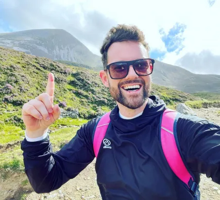
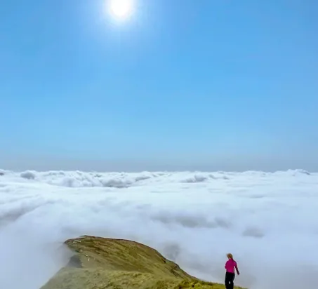
@emersf3 via Instagram
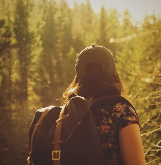
Hiking in Westport


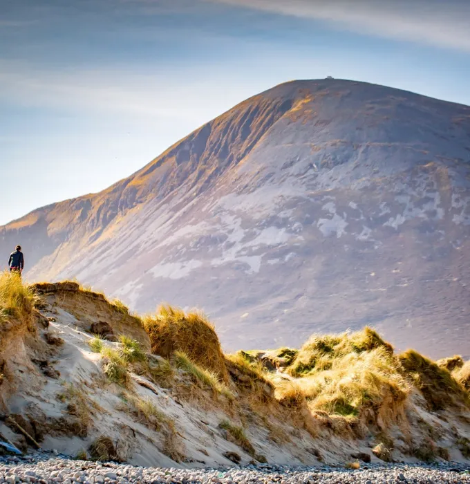
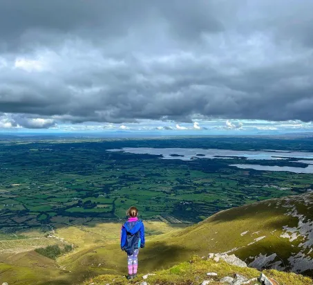
Croagh Patrick
The iconic Croagh Patrick is one of Ireland's most concerned hill, or mountain, depending on your hiking experience! Give yourself at least two hours to get to the top, and around an hour-and-a-half to come back down. Check out our full guide on getting to the top here.
THE BASICS
Terrain: Rocky path and steps
Length: 7km
Estimated time: 3.5hrs
Difficulty: Moderate

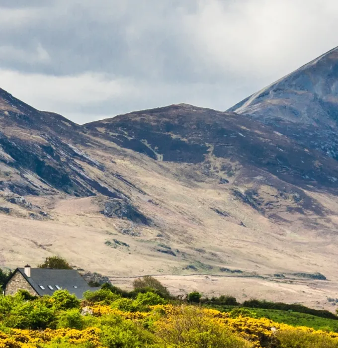
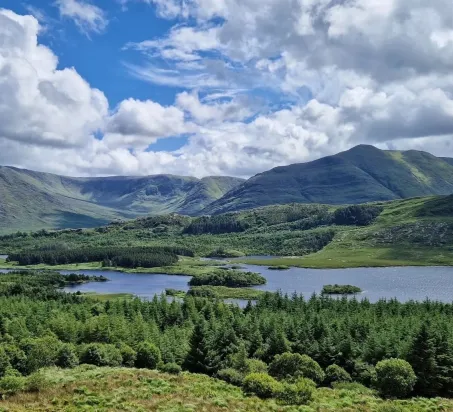
The Skelp & Brackloon Forest
Consider this the diet version of Croagh Patrick as this hike will take you over the lower part of the mountain known locally as 'The Skelp'. Enjoy breathtaking views of Clew Bay with the trail finishing off in an ancient Oak Forest of Brackloon.
THE BASICS
Terrain: Rocky paths & road
Length: 17km
Estimated time: 5hrs
Difficulty: Moderate
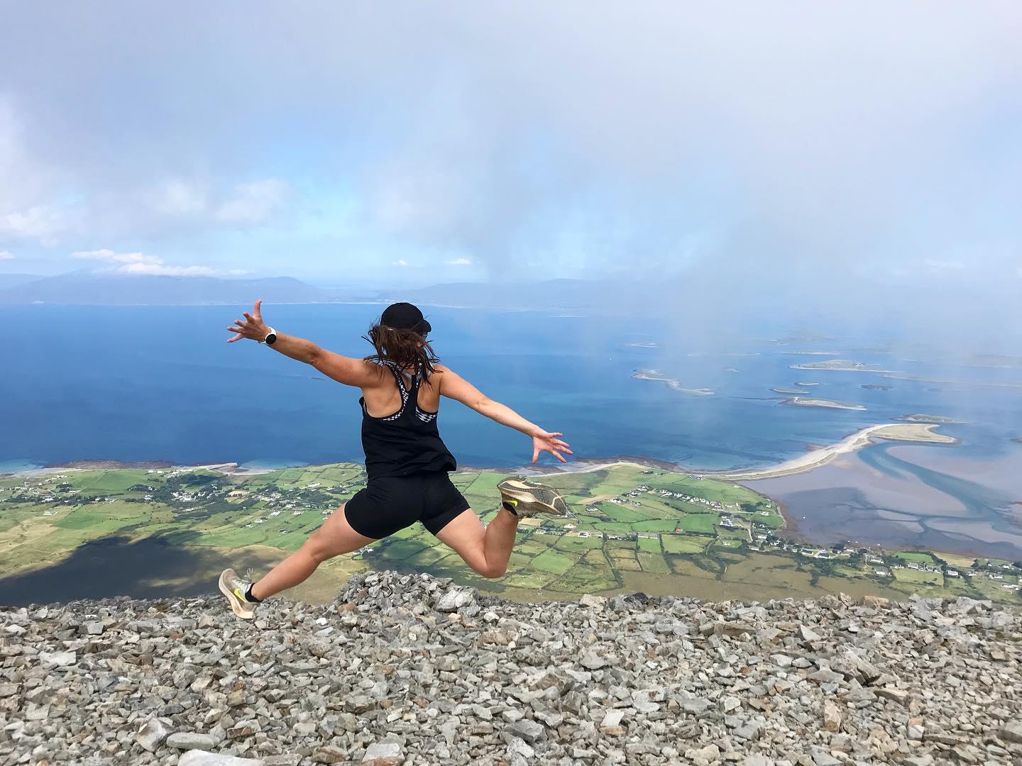
CROAGHAUN
At 688 metres, Croaghaun (or Croaghan) is Achill Island’s highest and most westerly peak. Its northern slopes boast the highest sea cliffs in Ireland – and the third-highest sea cliffs in Europe. As if that were not enough, the mountain is also home to Ireland’s highest corrie (glacial) lake.
Starting point: Keem Bay car park
Terrain: Boggy/grassy hillside, sometimes extremely steep
Estimated time: 5hrs
Difficulty: Hard
NEPHIN
Less than a 45-minute drive northeast from Westport, Nephin rises to a heart-busting 806m. This is the second-highest mountain in County Mayo, and the views from the cairn that marks its summit are breathtaking.
THE BASICS
Starting point: Pruglish Forest
Terrain: Heather, grass, giving way to a stoney slope
Estimated time: 5 hours
Length: 9km
Difficulty: Hard; experienced hillwalkers only.
Sheeffry Hills
This is one of the most beautiful hikes the area has to offer, if you’re willing to brave the bog that is! A tough undertaking at the best of times, those who stick it out will be rewarded with glorious views over the Sheeffry Pass, with plenty of sheep to keep you company. This is a quiet route so it’s unlikely you’ll meet anyone along the way.
The Basics -
Starting point: Glenummera
Terrain: Boggy/grassy hillside
Length: 20km
Difficulty: Hard
MWEELREA
The highest mountain in Mayo and the entire province of Connacht, majestic Mweelrea rises to 814m. This is no climb for the inexperienced or ill-prepared hillwalker; in poor weather (and the weather can change in an instant) good navigational skills and equipment are absolutely essential.
THE BASICS
Starting point: Silver Strand
Terrain: Open bog and grassland; rough, rocky mountain paths; steep hillside
Length: 8.5km
Estimated time: 4 hours
Difficulty: Hard; experienced hillwalkers only.
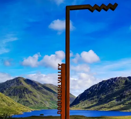
Doo Lough - Mweelrea
If you’ve conquered Mayo’s tallest and most challenging mountain from Silver Strand, why not try it from Doo Lough? This hike doesn’t get any easier just because it’s reversed - it’s still challenging and for experienced hillwalkers only (unless you’re with a guide). Check the weather before you go, and make sure to have the right gear with you.
The Basics -
Starting point: Doo Lough
Terrain: Steep hillside; rough, rocky mountain paths; open bog and grassland.
Length: 8.5km
Estimated time: 4 hours
Difficulty: Hard; experienced hillwalkers only.

Slievemore and Deserted Village
Achill’s second highest peak is Slievemore. The challenging 12.1-km loop trail gives you wonderful aerial views of Deserted Village, a “booley” settlement that’s now just the remnants of 80 stone cottages. This is a popular trail for hiking, running, and walking, so expect to meet other hikers. Take a path to the right of the white house and download a map to find your own way up the mountain.
The Basics -
Starting point: Keem Bay car park
Terrain: Boggy/grassy hillside, sometimes extremely steep
Length: 12km
Difficulty: Hard