Northwest Mayo


Ballycroy National Park & Wild Nephin Wilderness
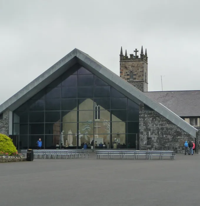
The vast Ballycroy National Park and the adjoining Wild Nephin Wilderness expands over roughly 15,000 hectares of Atlantic blanket bog, mountainous terrain and forest, and is home to a myriad of delicate ecosystems teeming with all kinds of life.
The Ballycroy National Park visitor centre is a treasure trove of interactive displays, educational videos and more. Check out the nature trail that runs in a loop that starts and finishes at the centre, stopping off at awe-inspiring views of Achill Island to the west and the Nephin Beg Mountain Range to the east.
Mayo Dark Sky Park
Unpolluted by light, the exceptional dark skies and breathtaking nightscapes over northwest Mayo’s Ballycroy National Park & Wild Nephin Wilderness have earned International Dark Sky Park accreditation.
Signature viewing sites for visiting astronomers and stargazers include the Claggan Mountain Boardwalk, Letterkeen Bothy and Ballycroy National Park Visitor Centre, which have excellent interpretive and parking facilities.
If it’s gallivanting you love, a small group tour with Terra Firma will be just the ticket, who have qualified mountain leaders and guides that will lead you through this culturally rich landscape. Also watch out for the annual Mayo Dark Sky Festival, which features a galaxy of talks, exhibitions, workshops, sky observations and family-themed events.
Mullet Peninsula
Mayo’s most westerly point, the 33km-long Mullet Peninsula curls around to face back towards Achill Island.
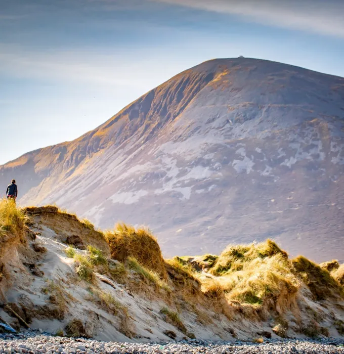
Rugged and beautiful Erris Head, the big promontory at the northernmost tip of the Mullet Peninsula, is a well-known landmark used by mariners and weather forecasters. A Special Area of Conservation, it is also a scenic viewpoint, with a wonderful view of Illandavuck Island, Pigeon Rock and dramatic sea arches and steep rocky cliffs. The lovely 5k Erris Head Loop Walk starts at Belmullet town takes you on grassy paths and open ground as it follows an old earth bank around the cliffs.
Along the Mullet Peninsula’s eastern side lies beautiful Elly beach, a sheltered sandy cove lapped by turquoise sea. A truly gorgeous spot for a picnic and dip.
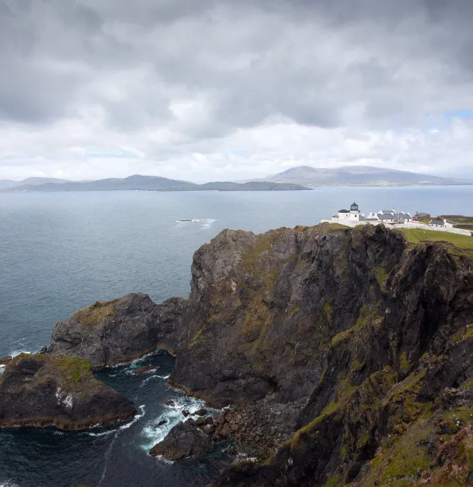
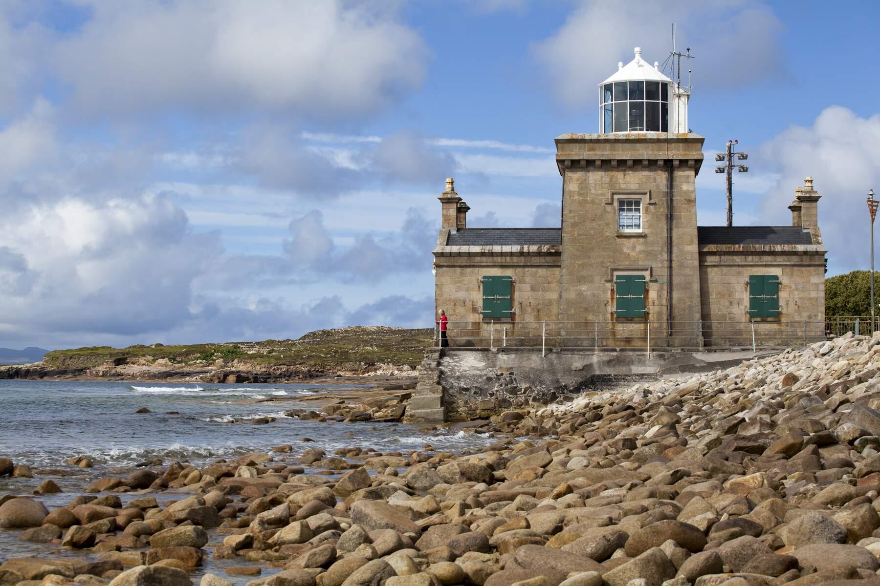
Blacksod lighthouse, at the end of the peninsula, is not just an impressive-looking building. In June 1944, this granite lighthouse changed the course of history by issuing a weather report that saved World War II’s D-Day invasion from potential disaster.
Doohoma
The Doohoma Peninsula is almost an island, connected to the mainland only by a narrow isthmus at the village of Geesala. Quiet and secluded, Doohoma Head lies in eastern Blacksod Bay, with the islands of the Iniskeas and Duvillan to the west. The views from Doohoma’s beautiful beach over Achill Island and the Mullet Peninsula are breathtaking.
With several small rivers meandering across the peninsula, and sea angling aplenty in the Atlantic waters surrounding Geesala and Doohoma, this is also a little mecca for fishing. Peace and quiet, fishing and views – pure, restorative joy.
Bangor Trail
Not for the fainthearted, the Bangor Trail is one of the most challenging – and rewarding –trail hikes in Ireland. It follows a 400-year-old drover path from Newport to Bangor Erris, used by herdsman to bring their cattle to market. If proof of our forbearers’ fortitude were needed, this arduous route speaks volumes.
The full Bangor Trail extends for 40km and meets another ancient trail, the Western Way, just outside Newport. Large parts of the way-marked trail lie within the lands of the awe-inspiring Ballycroy National Park.
Be warned: the condition underfoot pretty primitive – well it is one of the most remote hiking trails in the country, after all! Over the past number of years, the National Parks and Wildlife Service has been doing sensitive maintenance and improvement work along the trail, drying out small parts, as it can be very wet. You’ll still need good hiking boots!